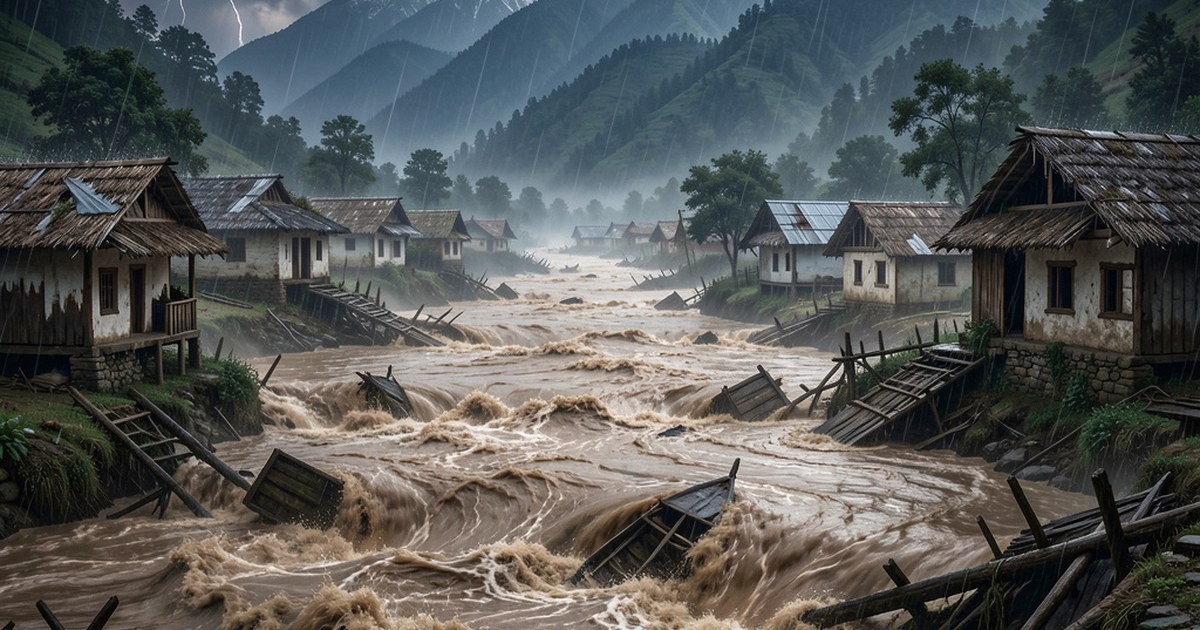
The Nepal Flood Disaster
Water has the right to flow. In the Indian subcontinent, it is even more important. Here, rain is a season. It is called the monsoon, for a good reason. It is not mere prolonged periods of precipitation. It is rain fury. For decades, we have watched disasters strike during every single monsoon.
Nepal and India share the same weather, river, and hydrological systems. Flooding during the monsoon, unfortunately, is a recurring feature of the Indian subcontinent.
Recurring Floods
On 26 August 2026, Nepal experienced catastrophic flash floods when there was no rain and sky was clear. It was triggered by an ice-rock avalanche/glacier collapse near the Nepal-Tibet border. A large mass of ice, rock, and debris surged into the Lhende Khola / Bhotekoshi River system. This created a rapid, high-velocity debris-laden flood that raced downstream along the Trishuli River corridor for tens of kilometers. The flood spared no one. It wiped out bridges, buildings, and even entire villages without a trace. Consensus is that a high-altitude ice-rock avalanche/glacial collapse initiated the disaster, producing the powerful downstream flood.
The official death toll stands at 1,331 dead and over 4,500 missing. But these figures are not realistic. It makes us skeptical of the official version of the damage. Videos of the disaster show a magnitude that belies these official figures.
It was a man-made disaster. When humans choke physical drainage paths, a predictable failure happens. Media outlets call it an unprecedented natural disaster. In truth, it is an unforced infrastructure failure driven by speculative real estate.
Nepal also experienced severe flooding and landslides in September and early October 2024, with the heaviest rains typically occurring around September 27–28. The extreme weather was linked to an unusually active monsoon season, which brought record-breaking rainfall to the Kathmandu Valley and surrounding regions. The death toll from the flooding was reported to be at least 200, with dozens more injured and missing. Over 15,000 households were displaced, as the flooding submerged large areas of agricultural land and residential zones.
Water does not negotiate with property boundaries or revenue records. It does not care about asphalt or concrete walls. Water simply follows the physical gradient of gravity. Everyone blames the rain. But the monsoon is a natural season, not a disaster.
Human greed makes it a disaster.
The Physical Reality of Subcontinental Rains
Hydrology in the Indian Subcontinent operates through intense rainfall pulses. Unlike temperate European climates with steady rainfall spread over twelve months, our weather is concentrated. The monsoon dumps 75 percent to 90 percent of annual rainfall in roughly 100 days.
Recognizing a river or watercourse’s "right to flow" is not merely an ecological sentiment; it is a hard civil engineering requirement. Nature evolved specific relief valves over millennia to handle this sudden volume. Natural drainage networks absorbed and slowed peak discharge. These networks included river floodplains, palaeochannels, and oxbow lakes. They included interconnected pond systems like talabs, johads, and tanks.
Modern development has systematically dismantled these natural relief valves across three major fronts.
1. Encroachment on River Floodplains
Planners treat dry seasonal riverbeds as vacant real estate. They ignore the natural cross-sectional area needed during peak river discharge.
When builders construct apartments directly on active floodplains, high water loses lateral expansion room. The river is forced into urban residential corridors.
When an institutional building or a hotel collapses into a surging torrent on camera, it is not an act of God. It is a structure sitting directly inside the river’s hydraulic path, approved by surveyors and engineers who willfully treated the high-water line as an optional boundary.
2. Destruction of Natural Sponge Infrastructure
Historically, low-lying urban depressions held surplus monsoon runoff. Interconnected channels linked these natural reservoirs together. Modern urbanization fills these depressions with concrete debris. Builders sever drainage corridors and pave over vital groundwater recharge zones.
Himalayan and high-gradient rivers do not just transport liquid water during intense rains; they transport hyper-concentrated slurries of boulders, glacial till, sediment, and uprooted forest cover. This debris bulks the total volume of the flow and clogs narrow gorges, bridges, and culverts within minutes. A channel designed solely for clear water fails instantly when hit by thousands of tons of bedload and mud.
3. Drains Built Only for Dry Days
Municipalities design stormwater networks with undersized concrete channels. These drains are built based on lean dry-season flow.
They fill rapidly with solid waste and silt. Planners build narrow concrete conduits instead of wide, unlined, gravity-fed channels. Carrying capacity drops exponentially while peak discharge remains high. Needless to say, these drains are inherently unfit to handle silt and mud.
A Legal and Engineering Mandate
Therefore, at the risk of repetition it must be stated that recognizing the right of water to flow is not an ecological sentiment. It is a strict urban planning requirement.
When a highway embankment cuts across natural terrain contours without culverts, it acts as an illegal dam. When a seasonal stream is narrowed into a box drain, disaster is guaranteed. High-intensity rain events are not external assaults by nature. Master plans deliberately de-notify natural drains to clear land for builders.
Drainage lines and catchment zones must become untouchable public utility corridors. Zoning approvals that alter natural flow lines must carry severe criminal liability.
Until that happens, the monsoon will reclaim its natural paths by force.
Leave a Response