The Madness of Calm-Season Urban Planning
A river is not the thin trickle of water seen in early summer. A river is its entire floodplain, carved out over centuries to carry peak historical discharge. One cannot decide human habitats by looking at calm water in May or December.
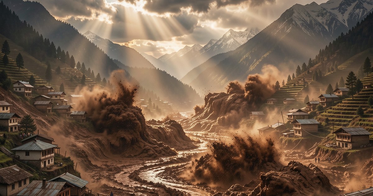
The disaster in Nepal was captured clearly on video. The self-inflicted nature of the destruction was fully visible. How can anyone expect torrential monsoon rains to pass through narrow channels built for dry winter months? When water flow multiplies tenfold, people on riverbanks are doomed.
This human madness is widespread. A five-story Chinese embassy building in Tibet was constructed on a small island-like rock inside a river channel. Entire five-story concrete structures with people inside were washed away in minutes. Camera footage recorded the destruction live.
Designing human habitats based on lean-season water levels is an absolute failure of civil engineering. What is labeled as a freak flash flood is simply a river reoccupying its full physical home during the monsoon. Glacier or no glacier, the river must have the right of way.
High-Gradient Hydraulic Blind Spots in River Engineering
State planners and commercial builders repeatedly ignore three basic hydrological realities.
1. The Cross-Sectional Geometry Lie ($Q = A \times V$)
Water discharge ($Q$) equals cross-sectional area ($A$) multiplied by flow velocity ($V$).
During peak monsoon storms, water volume multiplies ten to twenty times. The river must expand vertically, laterally, or through violent speed. When builders construct roads or multi-story hotels along dry winter river margins, they reduce cross-sectional area $A$.
In this choked riverway, the river responds by scouring downward, rising vertically, and sweeping away every structure in its path. This is basic common sense.
2. The Debris and Silt Load Multiplier
Himalayan rivers do not transport liquid water alone during heavy rains. They carry dense slurries of boulders, glacial till, sediment, and uprooted trees. This heavy debris dramatically increases total flow volume. It clogs narrow mountain gorges, bridges, and culverts within minutes.
A channel designed solely for clear water fails instantly when hit by thousands of tons of moving mud and rock.
3. Ignoring Geomorphic Markers and Return Periods
Gravel, cobbles, and river terraces on mountain slopes were deposited by past major flood events over decades. Building on an alluvial fan or river island because it stayed dry for five consecutive winters is an absolute delusion.
The physical presence of river-rounded stone in subsoil is irrefutable proof. Water has flowed there before, and water will return.
Do not ignore the warning signs left by the river.
Stop Blaming Nature for Structural Greed
When an institutional building or hotel collapses into a torrent on camera, it is not an act of God. The structure directly obstructed the river's physical hydraulic path. Surveyors and engineers approved it by treating high-water lines as optional boundaries.
Site feasibility studies must legally mandate the mapping of historical peak flood lines and high-gradient debris flows.
Human settlements will continue washing away like sandcastles until we enforce these physical boundaries.
Leave a Response